IZANAUの魅力


特集コラム
-
![「敬語がカベ?」外国籍社員が感じる日本語のビジネス表現の難しさ]() 「敬語がカベ?」外国籍社員が感じる日本語のビジネス表現の難しさなぜ“日本語の壁”が話題になるのか
「敬語がカベ?」外国籍社員が感じる日本語のビジネス表現の難しさなぜ“日本語の壁”が話題になるのか -
![世界の労働者幸福度ランキング:働きがいを感じている国は?]() 世界の労働者幸福度ランキング:働きがいを感じている国は?働きがいが企業の未来を左右する時代に
世界の労働者幸福度ランキング:働きがいを感じている国は?働きがいが企業の未来を左右する時代に -
![リモートワークに適した国とは?2023年度「Global Remote Work Index」で日本は22位にランクイン]() リモートワークに適した国とは?2023年度「Global Remote Work Index」で日本は22位にランクイン柔軟な働き方が鍵に——外国人採用と定着を成功させるヒント
リモートワークに適した国とは?2023年度「Global Remote Work Index」で日本は22位にランクイン柔軟な働き方が鍵に——外国人採用と定着を成功させるヒント -
![外国人は日本で働きたいと実際に思っているのか?]() 外国人は日本で働きたいと実際に思っているのか?生活の魅力が「就労の動機」に変わるとき
外国人は日本で働きたいと実際に思っているのか?生活の魅力が「就労の動機」に変わるとき -
![給与は後から上がるもの?日本の初任給文化と海外の違い]() 給与は後から上がるもの?日本の初任給文化と海外の違い「給与の国際格差」日本の初任給と海外の現実
給与は後から上がるもの?日本の初任給文化と海外の違い「給与の国際格差」日本の初任給と海外の現実 -
![履歴書に写真は必要? 日本の採用文化と海外の違い]() 履歴書に写真は必要? 日本の採用文化と海外の違い日本の履歴書文化と国際的な視点
履歴書に写真は必要? 日本の採用文化と海外の違い日本の履歴書文化と国際的な視点


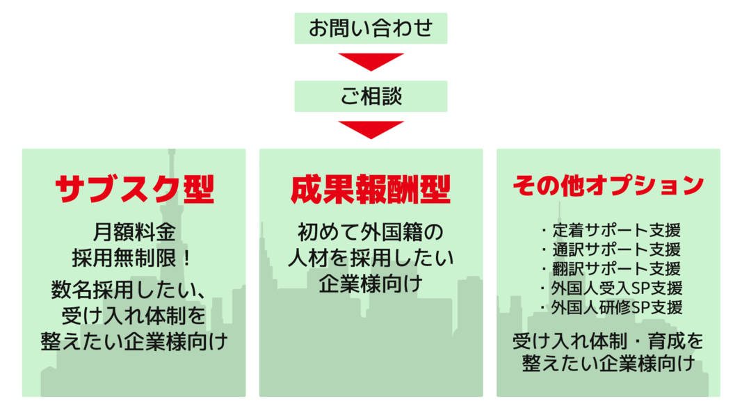
サービス開始までのフロー